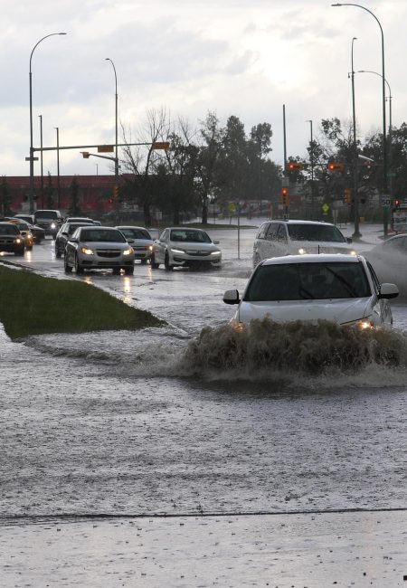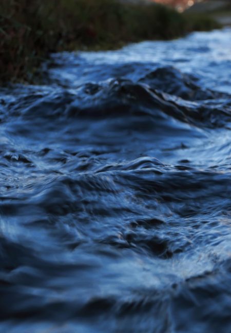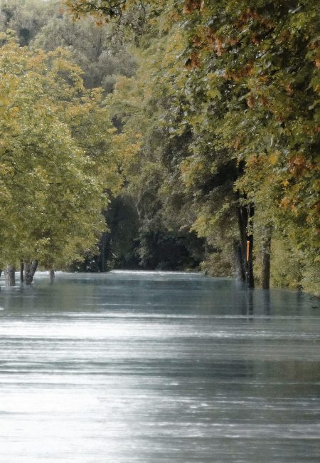
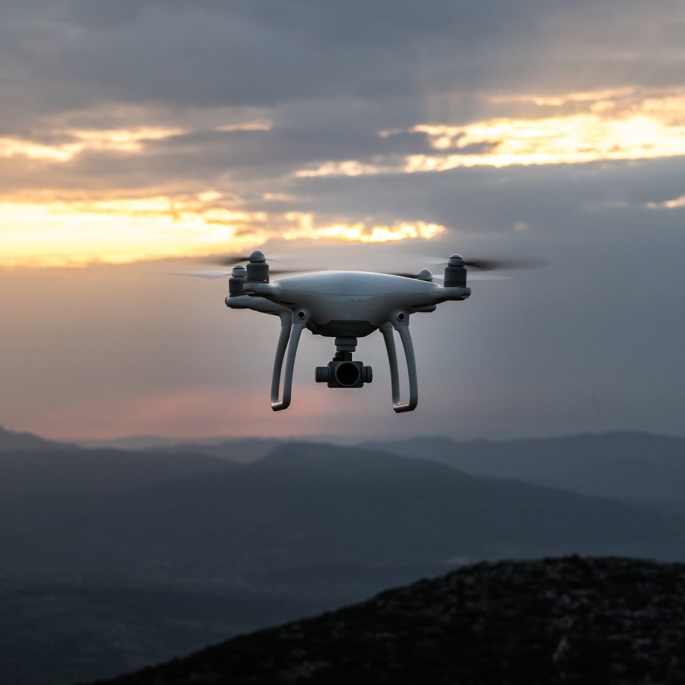
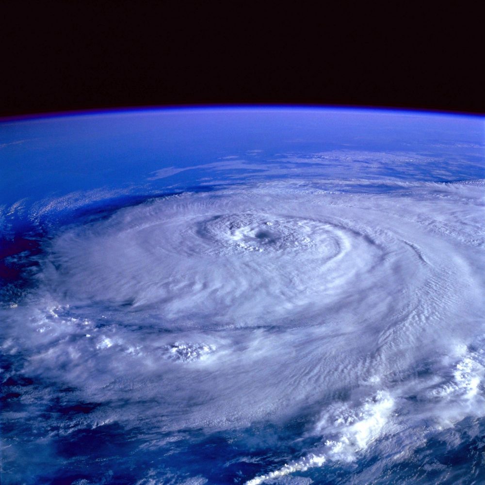
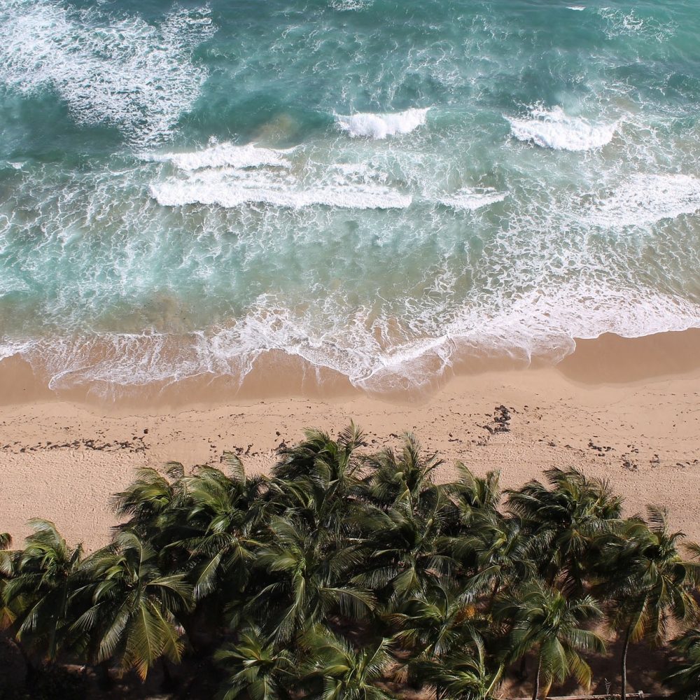
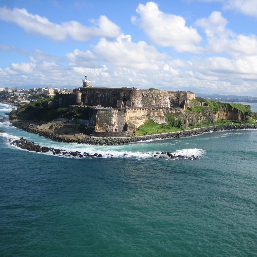
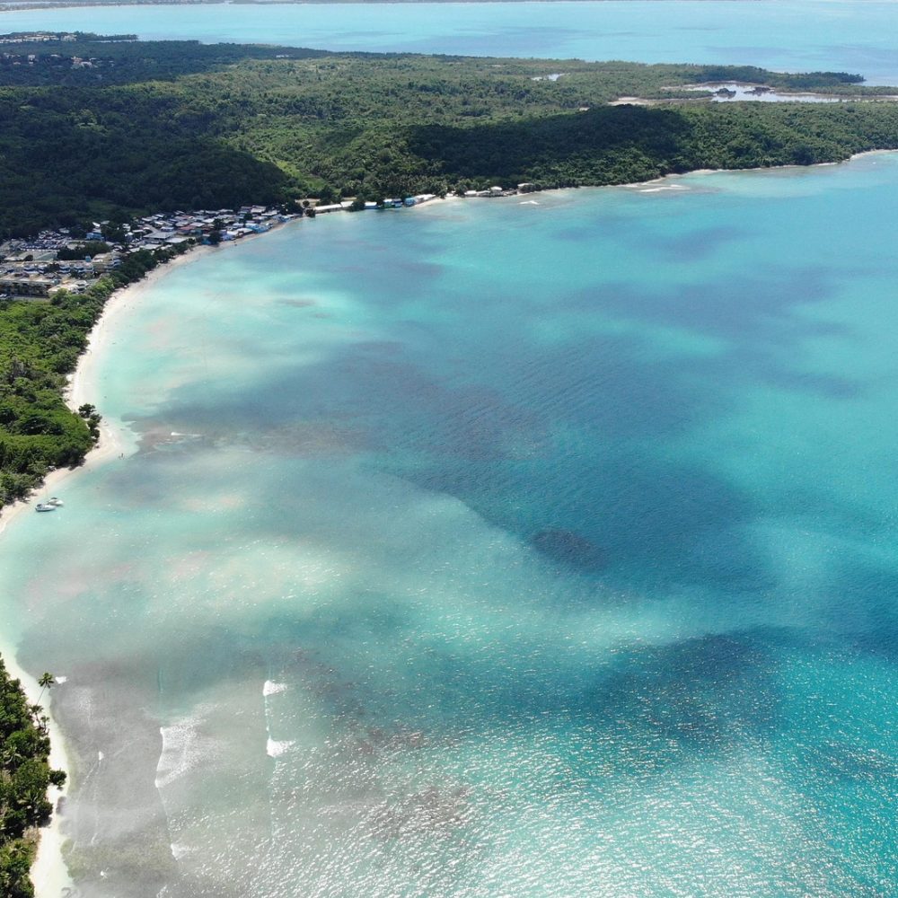
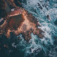

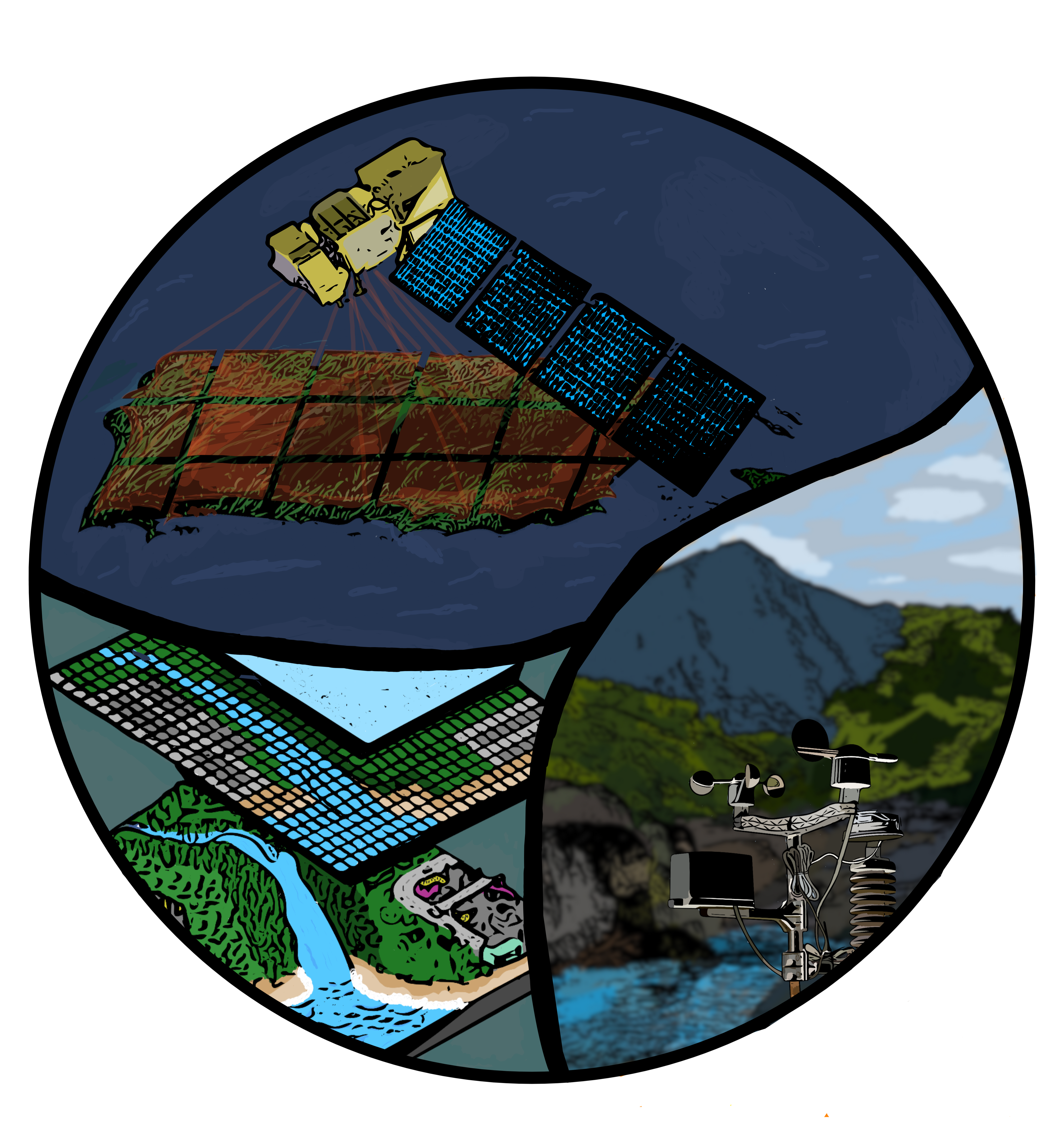
The Caribbean Remote Sensing and Spatial Information Laboratory (CRS-ISLA) is dedicated to advancing research in remote sensing, geospatial analysis, and environmental monitoring. Our work focuses on studying rivers, coastal systems, hydrology, photogrammetry, and spatial data modeling to understand better and address environmental challenges in the Caribbean region.
Through cutting-edge research and collaboration, we develop innovative solutions for natural resource management, disaster response, and climate resilience. Our lab integrates satellite imagery, GIS technologies, and field data to provide valuable insights for scientific studies and decision-making.
We strive to foster collaboration with researchers, institutions, and organizations to enhance the impact of geospatial science in the region.