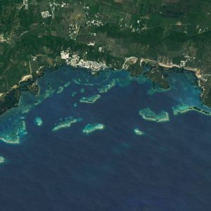
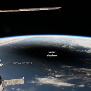
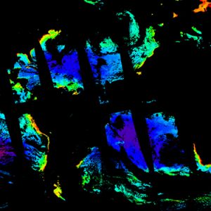
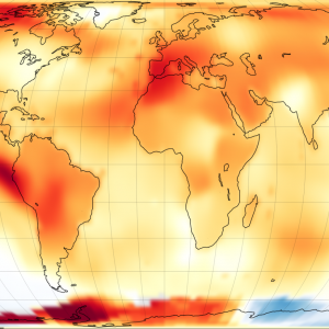
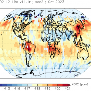
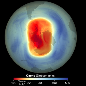
Courses of Remote Sensing and Geographic Information Systems (GIS) are available to be offered on demand. The basic course (Geol 3105) emphasizes the study of the Earth System using digital images collected by airborne and spaceborne sensors. The advanced courses (Geol 4048 and Geol 6225) cover the theory and techniques of remote sensing tools with emphasis on geoscience applications. Learning image interpretation and analysis is also part of these courses. Laboratory work teaches image processing of digital images acquired by diverse sensors using the latest software. The GIS courses (Geol 5996 & 6991 and Biol 5038) focus on the theory of extracting information from remotely sensed data and its integration into databases of different layers.
Investigating the Earth System
GERS Lab generates studies with remote sensors and geographic information systems to better understand our planet at large scale. These are our current main areas of research.
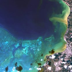
Biogeo-optical Properties
Optical variability from different constituents is measured for developing better algorithms and validating the remote signal.
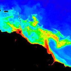
Phytoplankton Dynamics
Ocean color sensors are used to determine the spatial and temporal variability of phytoplankton at local and regional scales.
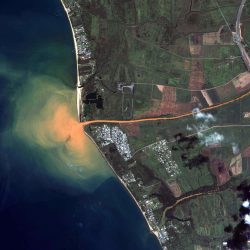
Suspended Sediments
Changes in total inorganic particles from rivers discharge and land runoff are studied at different scales with remote sensors.
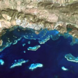
Coastal Geomorphology
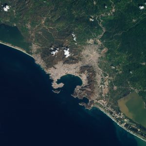
Spatial and temporal changes of the coastline are investigated with image processing and geographic information systems.
What is Remote Sensing?
It is the science of deriving information about an object without actually coming in contact with it. This art, science, and technology allows to obtain reliable information about physical objects, through the process of recording, measuring and interpreting imagery and digital representation of energy patterns derived from non-contact sensor systems.
Geographic Information Systems
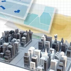
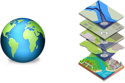
A geographic information system (GIS) lets us visualize, question, analyze, and interpret data to understand relationships, patterns, and trends. A GIS integrates hardware and software for capturing, managing, analyzing, and displaying all forms of geographically referenced information. It helps to answer questions and solve problems by looking at data in a way that is quickly understood and easily shared. This technology can be integrated into any field.
Related News
Geospatial technology, techniques and analyses are in continuous changes and we keep track of the latest related news.


