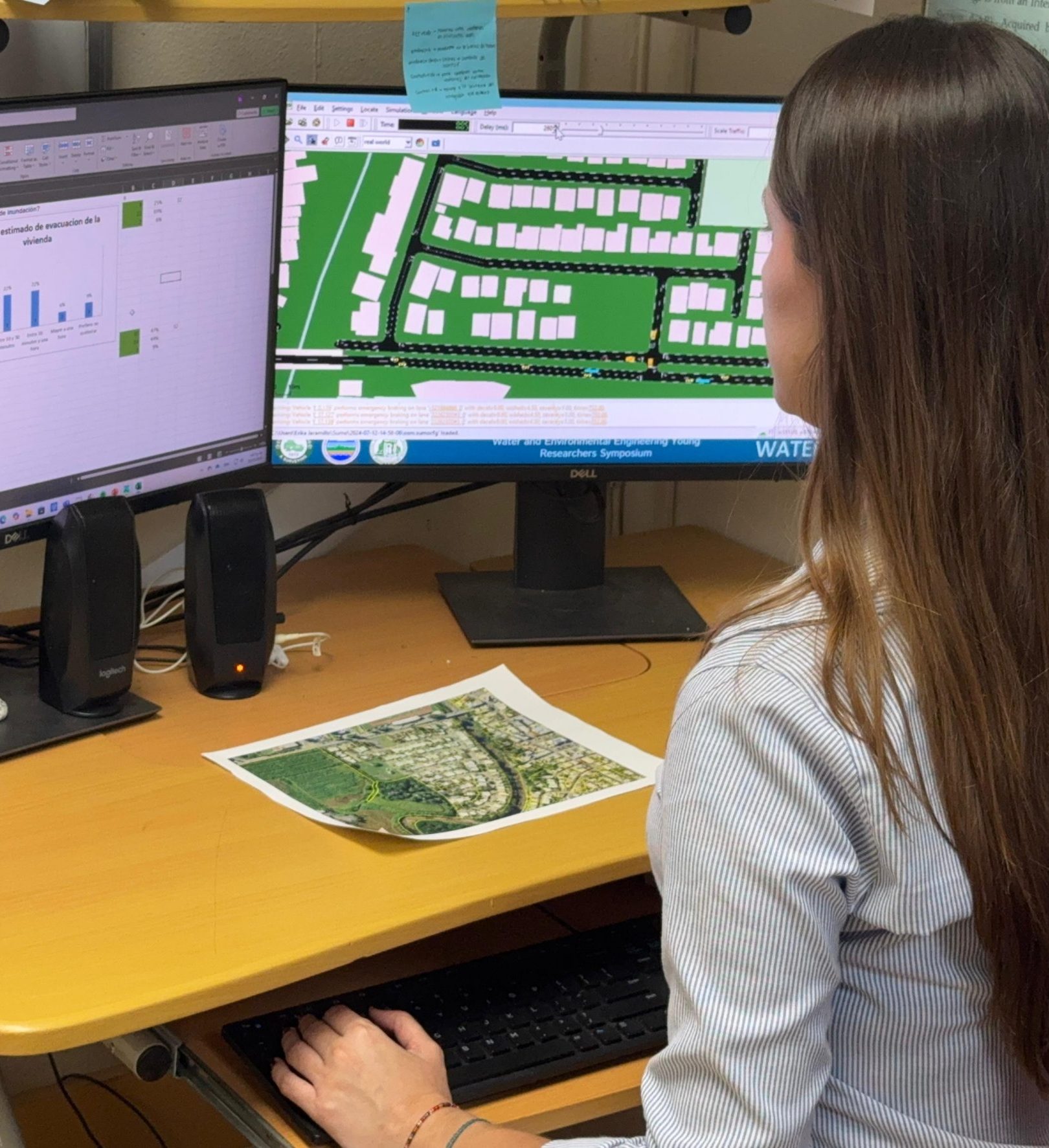
Summary: This project analyzes flooding in Luchetti, Yauco, by integrating hydrological, hydraulic, and traffic flow studies to assess risk areas and evacuation routes. Using data from NOAA, USGS, and community surveys, predictive models are developed to simulate evacuation scenarios. The comparison of flood and traffic models identifies weaknesses in emergency response and informs mitigation strategies such as drainage improvements, optimized route planning, and emergency preparedness.
Traffic Evacuation Simulation and Development of Contingency Plan for a Flood-Prone Community in Puerto Rico
Researcher: Erika Jaramillo
Problem Focus:
Assessment of flood-prone areas and evacuation challenges in Luchetti, Yauco.
Flood Assessment:
The flood analysis in Luchetti, Yauco, includes hydrological, hydraulic, and vehicular flow studies.
Data Collection:
Data is collected from sources like NOAA and USGS. Additional data comes from community surveys and traffic monitoring.
Predictive Modeling:
Tools such as HEC-HMS, PCSWMM, and SUMO are used to create predictive models. These models help evaluate evacuation scenarios.
Comparison and Analysis:
Flood and traffic models are compared to identify weaknesses in emergency response.
Mitigation Strategies:
The study supports strategies like drainage improvements, route planning, and emergency preparedness.
Creation of the e-learning module "Hydrology and Climatology for Agriculture in the Caribbean"
Researcher: Eliana Niño
Summary: This project aims to create an e-learning resource for Agro-environmental Sciences, Agricultural Education, and Agricultural Engineering students, covering hydrologic, climatologic, and soil parameters to estimate runoff and soil erosion, with a focus on agricultural land.
Project Goal:
Provide an e-learning resource to supplement courses in Agro-Environmental Sciences, Agricultural Education, and Agricultural Engineering and Biosystems.
Target Audience:
Designed for students with basic knowledge of the hydrologic cycle and natural resources.
Learning Progression:
Starts with fundamental concepts of hydrology, climatology, and soil science. Expands to include hydrologic, climatologic, and soil parameters for runoff and soil erosion estimation.
Focus on Agricultural Land:
Strengthening Multidisciplinary Integration in Agriculture and Natural Resources Education Using Advanced Technologies
Summary: This project facilitated a multidisciplinary collaboration between agriculture and engineering students and faculty, using remote sensing, modeling, and field measurements to address real-world problems, with students gaining hands-on experience in data analysis and simulations.
Problem Focus:
Foster collaboration between students and faculty in agriculture and engineering to solve real-world problems.
Methodology:
Utilized remote sensing technology, computer modeling, simulations, and field measurements.
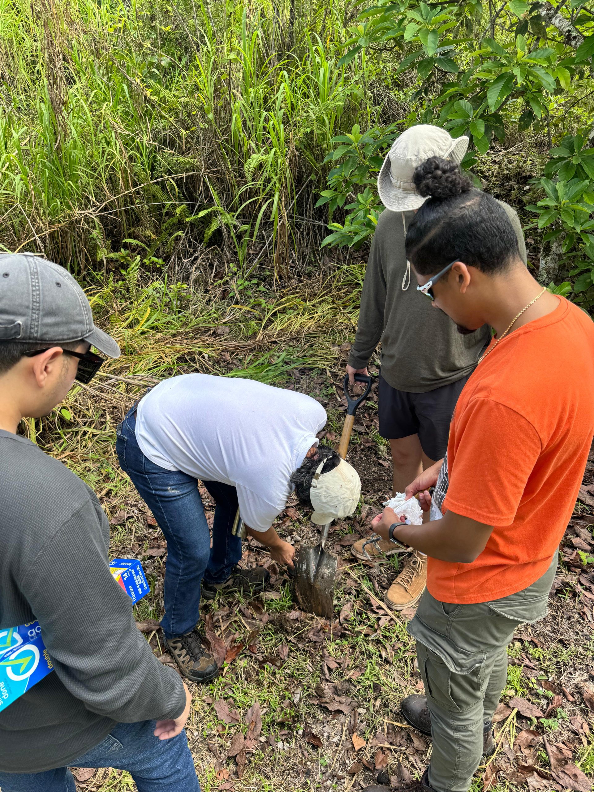
Student Participation:
Recruited nine undergraduate students who worked for one academic year on three different projects.
Educational Activities:
Organized a series of seminars, with presentations available at: https://www.uprm.edu/prwreri/watereeyrs-all-presentations/
Hands-On Experience:
Provided students with practical training in data analysis, processing, and simulations for agricultural and water resources applications.