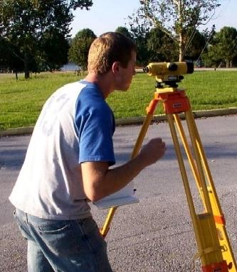
The Surveying and Topography Laboratory occupies an area of approximately 1,720 square feet. Equipment such as transits, levels, theodolites, total station and other distance measuring devices are used in three required courses of the Civil Engineering Program; INCI 4001 – Geomatics I, INCI 4002 – Geomatics II, and INCI 4007 – Highway Location and Curve Design.
A HP wide plotter is available to students in the laboratory. Available software includes AutoCAD with all application packages, Carlson Civil Suite, Mobile Device Center for Data Collector, and ArcGIS with several extensions.
The equipment is divided in two categories: terrestrial surveying and satellite surveying. The terrestrial surveying equipment is able to take measurement of angles and distances in two planes (horizontal and vertical) as well as slope distances, with their associated software. The satellite surveying equipment are the global navigation satellite systems (GNSS) receivers, with their associated software.


