The program provides the opportunity of learning fundamental knowledge such as:
- Location of control points for locating properties
- Planning and design of the space distribution for new communities.
- Precise determination of astronomic positions.
- Determination of slopes, drainage systems, costs and other geographical features.
- Location of infrastructure such as roads, pipelines, adjacent, structures.
- Property laws and the history of surveying to carry out surveys efficiently.
The future surveyor will also learn to use tools of the geographical information systems (GIS) and global positioning systems (GPS) including their capabilities and limitations and could collaborate as part of an interdisciplinary team when needed. These applications are seen in navigation, transportation, management of natural and environmental resources, natural disaster mitigation, infrastructure management and others.
In summary, the program of Bachelors of Surveying and Topography prepares students to be professional surveyors who can perform in a number of disciplines from which a partial list is provided below: Surveying, Mapping (Design and Reproduction of Maps, Topographic Maps, Small Scale Maps), Construction, Topographic Photogrammetry, Geodesy (Physical Geodesy), Geophysics, Hydrography, Oceanography, Urban and Regional Planning, Representation of Natural Resources, Geographic Information Systems, Global Positioning System, Land Valuation, and Remote Sensing.
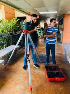
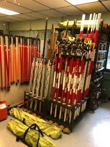
Students will have the opportunity to familiarize themselves with sophisticated equipment such as distance meters, photogrammetric equipment, electronic computers, and computer programs that have revolutionized the practice of surveying.


