About this Course

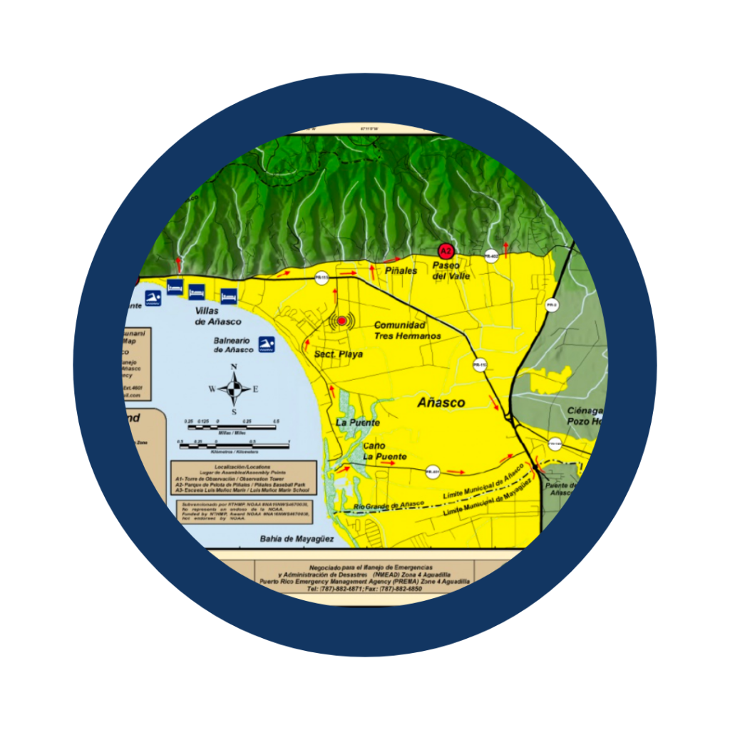
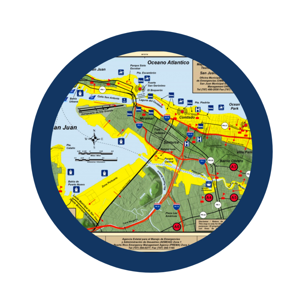
PRSN’s Evacuation Maps and Map Tool course focuses on learning about tsunami maps developed by the Puerto Rico Seismic Network (PRSN).  This course is intended to teach the Puerto Rican community about the science behind the maps creation, as well on how to read and use the maps for the creation of your own tsunami evacuation response plan. Where this information can also be of interest to the residents of the Virgin Islands. 


During this course, you may need to access the PRSN tsunami maps; they are available in the top navigation menu under the Resources Tab.  After the last module, you have the option of completing a quiz to evaluate what you learned.

Objectives

By the end of this course, you will be able to:

    • Describe how the evacuation maps were generated and demonstrate the knowledge of the science behind them.  
    • Recognize and define the evacuation zones and key symbols (e.g., assembly points and siren locations) , and identify them on the evacuation map and Map Tool, without relying solely on the map legend.
    • Locate a community’s established evacuation route on the appropriate evacuation map.                        
    • Use the interactive Map Tool features to determine the steps for following a tsunami response plan (starting from a prescribed location) that includes the established route for that community and the estimated time it will take to evacuate. 

Modules

This course is divided into four (4) modules that allow you to access the content at your own pace and order. However, if you are unfamiliar with the PRSN map resources, we recommend that you begin with Module 1.

Module 1: What Are Tsunami Maps, and How Were They Made?

Understanding what tsunami maps are and how they were developed is the first step in learning how to use them effectively.  This module introduces you to the topic of tsunami maps as well as the PRSN evacuation maps and the interactive Map Tool, including where to find them within the PRSN website.

Module 2: How Do I Read the Evacuation Maps and Map Tool?

The PRSN evacuation maps and Map Tool are tsunami resources that support the development of a family or individual tsunami response plan. This module focuses on learning how to read these maps, particularly identifying key symbols and information.

Module 3: How Do I Use the Evacuation Maps and Map Tool?

The PRSN evacuation maps and Map Tool include a series of features and options that may seem daunting. This module focuses on using these tsunami maps, including the differences between the maps, when to use each, and how to use the interactive Map Tool features. 

Module 4: How Do I Develop a Tsunami Response Plan?

Having an established tsunami response plan is essential for responding appropriately to a tsunami. This module focuses on developing a clear tsunami response plan that you can use as an individual or for your family.  

Module 5: Pedestrian Evacuation Analysis

The purpose of this module is to determine the approximate time it takes to move out of the evacuation zone. Also focusing on how to use and apply the data layer in the Pedestrian Analyst within the MapTool.